Bayview Transportation Improvements Project
The Bayview Transportation Improvements Project (BTIP) will improve the existing roadway network within San Francisco’s southeast waterfront community. The BTIP includes reconstructing, repaving, limited widening of existing city streets, and constructing new street segments to create a multi-modal transportation network. The proposed network modifications will promote expanded bus service, provide new bus rapid transit (BRT) service to proposed transit centers, create pedestrian and bicycle linkages throughout the community, and improve vehicular connections to and within the Southeast community.
The BTIP will provide enhanced transit, vehicular and non-motorized transportation infrastructure within the BTIP area. The San Francisco Metropolitan Transportation Agency (SFMTA) transit network would be integrated with the southeast community through the provision of a new BRT line connecting the regional transit hubs (Bayshore Caltrain Station and Balboa Park BART) to southeast areas, express bus lines connecting current and future neighborhoods with Downtown San Francisco, and transit preferential street (TPS) improvements along the Palou Avenue transit corridor. Connections to the regional highway network (Highway 101 and 1-280) will be maintained.
In addition to typical roadway improvements like pavement rehabilitation and resurfacing, enhanced landscaping, improved lighting, proposed transit improvements, including bus bulb-out extensions and transit-only lanes, would improve the speed and reliability of transit services and complement the limited existing public transit services to meet future needs. The combination of roadway and transit improvements will improve the speed and reliability of public transit, and when paired with the infrastructure for new express bus and BRT service, would help unify existing and future Southeast neighborhoods and the rest of the city.
- Environmental Assessment is now available. Click here for environmental document.
- Notice of Availability of Final Environmental Assessment (EA) and Finding of No Significant Impact (FONSI)
- Project Update June 2013
- Map of proposed Bayview Transportation Improvements
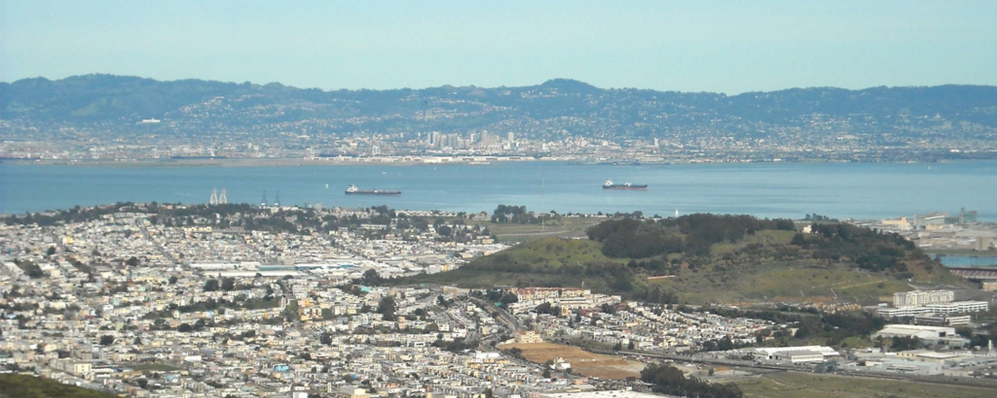
Location: Southeast San Francisco - Cesar Chavez Street to the north, US-101 to the west, the San Francisco Bay to the east, and the San Mateo County line to the south
- May-June 2004 – Project initiated with release notice of intent to prepare Environmental Impact Statement
- 2004 – 2 combined agency/public scoping meetings were held and over 115 comments were generated. An additional 95 meetings with stakeholders and community groups were held to keep the public informed
- 2005 – Public alternatives screening workshop held
- 2007 – City began integrating transportation planning under the project with the land use and extensive outreach that was underway for CP-HPS Plan
- 2010 – CP-HPS Phase II Redevelopment Project EIR was certified by SF Board of Supervisors
- May 31, 2013 – Draft Environmental Assessment approved by Caltrans
- July 8, 2013 - Public Hearing for Draft Environmental Document
The FONSI was approved by Caltrans on 8/29/2014. Construction of the proposed facilities will occur based on development of the neighborhoods and ridership demand beginning in 2015, with an opening year of 2016 for limited improvements to one transit route. By 2020, several more improvements are slated for construction with project completion by 2035. (The project will be built at pace with development in Hunters Point Shipyard and Candlestick Point.)


